
Low growing herbs flourish in the rabbit-grazed turf, attracting numerous butterflies in summer.
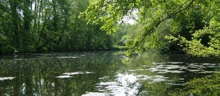
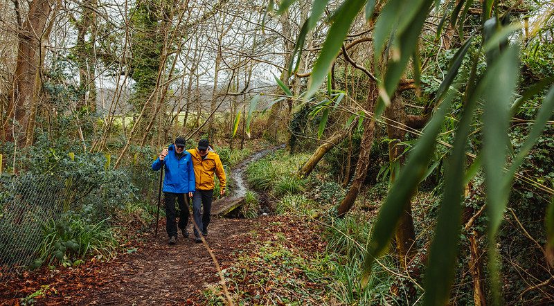
The walk leads from the park through Willow Wood and on along quiet country lanes. The woodland was previously used in salt preparation. It was burned to help evaporate water from saltpans along the seashore.
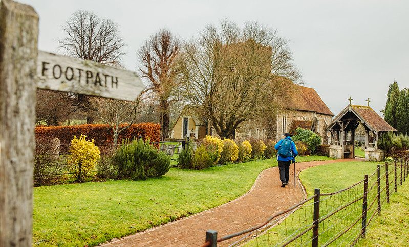
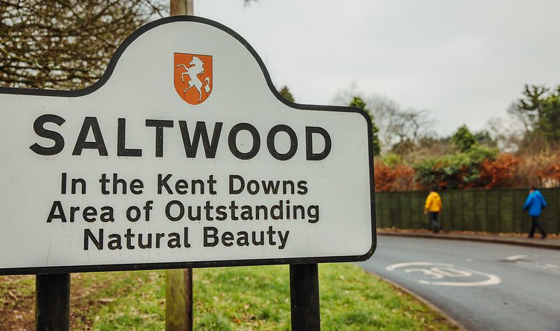
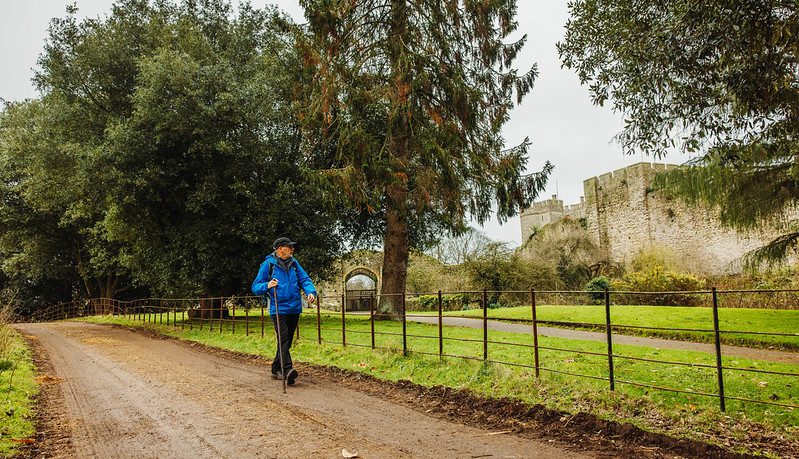
The route passes through the beautiful village of Saltwood, and offers the chance to admire the impressive 12th century parish church dedicated to St Peter and St Paul.
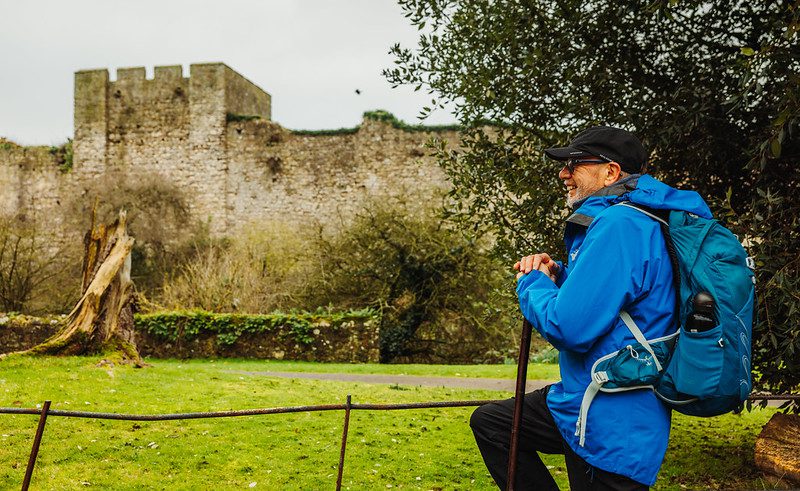
The life of local villagers was disrupted by earthquakes in the 17th and 18th centuries, which caused substantial damage to buildings and the nearby Saltwood Castle.
The Domesday Book states that Saltwood Castle, held by the Archbishop of Canterbury, was let to Hugo de Montfort, who fought with William the Conqueror at the Battle of Hastings in 1066.
In December 1170, 4 knights stayed at Saltwood Castle before riding to Canterbury, where they murdered Archbishop Thomas Becket.
Step by step guide
From the Visitor Centre, cross the car park and turn left by a waymarker post to follow a grass path and leave the park by a pedestrian exit (by transformer).
Turn left onto the pavement and after 100 metres, just past the bend, cross the road to follow the Saxon Shore Way (SSW).
Beware of traffic. Cross a small bridge and continue uphill. On reaching a small clearing turn left to follow path and enter wood. Follow path through wood and bear right to follow a sunken footpath.
At the stile, with an orchard on your right, turn left to follow the SSW up a slight incline. Then at a junction with a track, turn left and follow to another junction with Hayne Barn on your left.
At the junction, turn right onto the quiet lane. After 350 metres turn right through a gate to follow the footpath through the wood.
Continue over a stile, into the field and straight ahead towards a gate. Pass through the gate and continue ahead along the path at the back of some gardens. You will have a lovely view of the church and castle to your left.
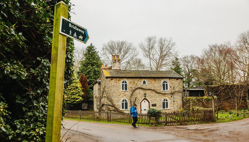
Follow the path left to the road. At the road turn left past the church and follow the road into the village centre. Beware of traffic.
At the village green, turn right up the hill, past the Castle Hotel and past the post office. Cross the road opposite the newsagents and walk on the pavement on the left hand side of the road. Beware of traffic.
Continue along the pavement until you reach the entrance to Brockhill Country Park on your left.