Lullingstone Country Park walk
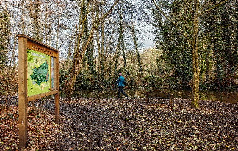

This walk explores the countryside surrounding Lullingstone Country Park. From the park, this walk travels along the Darent Valley path to the charming village of Shoreham.
Soon after there are a couple of challenging climbs to negotiate but you are rewarded with some fantastic views of the valley.
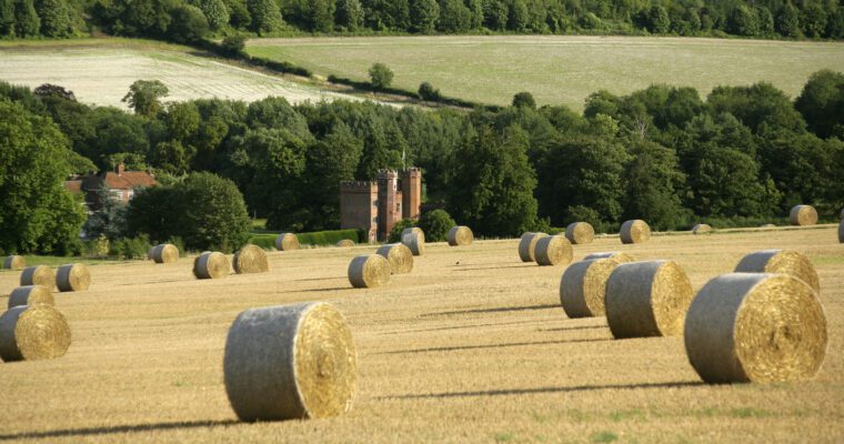
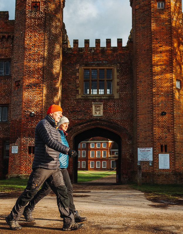
The route returns to the Visitor Centre passing by the Roman Villa and Lullingstone Castle – regularly visited by Henry VIII and Queen Anne. If you prefer a shorter walk you can follow the route to Shoreham and then retrace your steps back to the Visitor Centre.
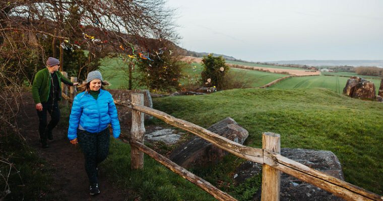
Why not explore this beautiful area as part of a healthy walking group. Come and walk with other people who love this area too. Walks take place weekly during term time only 10am-12pm. If you’d like to come along, simply meet at the visitor centre at 10am. It costs £2 per person to attend.
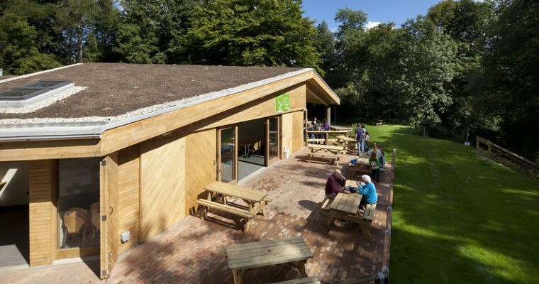
Check out the great team building activities, children’s parties and venue hire opportunities for this fabulous country park on the Kent County Council website.
Lullingstone Country Park has created an Accessibility Guide, to find out more click here.
Step by step guide
Leave the Visitor Centre car park by the main entrance and turn right to take the path over stile into a field. Follow alongside boundary.
As you go around a bend in the field look out for a gap on the left. Beware of traffic. Go down steps and cross the road to a gate on the other side. Continue ahead across the field following Darent Valley path signs. Cross stile in the treeline to follow the path to a surfaced track.
Cross track and climb over a stile to the left of the gate to enter into a field. Follow the path heading to the left corner ahead and over another stile to continue on, along field edge.
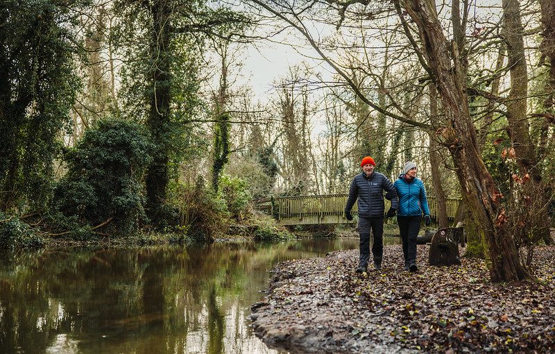
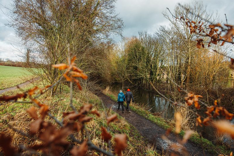
Go through a kissing gate to follow the path as it runs, fairly narrow in places, alongside the river.
Come out onto a surfaced road and turn left. Follow the surfaced path along the fenceline of Mill House and over a small bridge crossing the river. After crossing the bridge, turn right to continue to follow the surfaced path alongside the river.
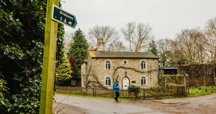
Shoreham: Beware of traffic. On reaching the main road (Church Street), turn right along the pavement to go over bridge. Pass Kings Arms pub and village school. At the road junction turn right (towards village shops).
Look out for a footpath on the left just past Shoreham Aircraft Museum - signposted to Halstead and Timberden Bottom (The Landway). Go uphill on a track that travels alongside a recreation ground before heading through a kissing gate onto a narrow enclosed path. At the end of this path, climb over stile and continue uphill on a steep section of path – on the right you should be able to make out the Shoreham Cross War Memorial. Reaching a second stile on the uphill climb, take the opportunity to look back and admire fantastic views of the valley. Cross over the stile to continue uphill on a short steep section of path with some steps. At the top (Meenfield Wood), turn right to follow the path, stopping at the gap on the right to admire Shoreham Cross and more fine views. Further on, go around a vehicle gate to continue downhill through a wooded section. After passing another gate, bear left to head towards the road.
Beware of traffic. On reaching the road (Shacklands Road) turn right and continue downhill past junction, following signs to Well Hill and Eynsford. A short distance on, turn left into Cockerhurst Road with its tall trees on either side. Follow the road until you approach a bungalow on the left.
Look for the footpath on the right opposite the driveway and follow the path uphill. Near the top, look back at some more good views of the valley.
Cross over stile to follow path along field edge towards overhead power lines.
Upon reaching the edge of the field, follow the fairly narrow enclosed path past house and bear right, taking the surfaced driveway to the road. (Please be considerate and try not to disturb residents as you pass close to their property). On reaching the road, turn left. Beware of traffic.
After a short distance, turn right to go up steps and cross over stile into a field. Keeping to the left edge, continue ahead to cross over another stile. Follow the enclosed path to a gate.
Go through the gate to enter into Lullingstone Park (Beechin Wood). Follow the path straight on. (Public Footpath 206 as indicated on the signpost).
Continue along a woodland path and take care as you cross a golf fairway (look both ways before crossing) to pick up the path running through a short wooded section on the other side.
Continue along a woodland path and take care as you cross a golf fairway (look both ways before crossing) to pick up the path running through a short wooded section on the other side.
Come out from the trees and follow signs to a surfaced path ahead. Turn left and head towards the car park (signposted as Path 216/Park Gate Car Park) past the Clubhouse on the right. Enter the car park and bear right to head for the exit.
After leaving the Golf Club, go through the kissing gate (Homestead Hall) immediately on the right to follow the path past houses and into the fields.
Cross over stile to continue ahead through a wooded section. Go through gate to continue ahead along field edge.
Turn right to go through gate into another field. Follow path downhill with tall trees on the left. Lullingstone Castle should just be visible in the distance.
On the way downhill, look out for a gap in the trees on the left. Follow signposts through gap onto another path. As the path continues downhill, there are some good views of Eynsford Viaduct on the left. Nearing the bottom, go down steps to a road. To the left is the Roman Villa.
Beware of traffic. On reaching the road turn right. Follow the surfaced road past Lullingstone Castle on your left and a short distance on, bear right into car park heading for a gate in the left hand corner.
Go through kissing gate to follow riverside path back to the Visitor Centre car park.
On reaching the Visitor Centre, turn right to go through a kissing gate to take you back to where you started.