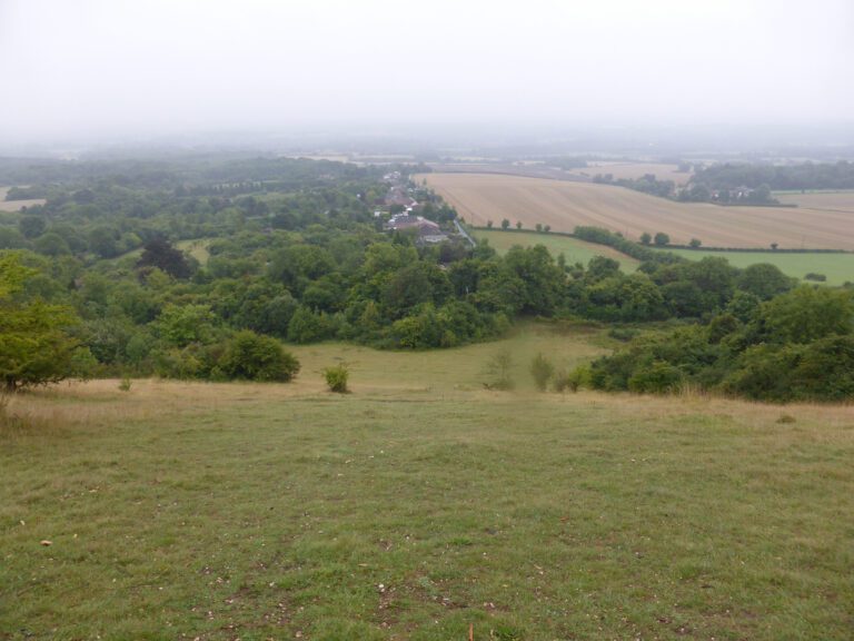
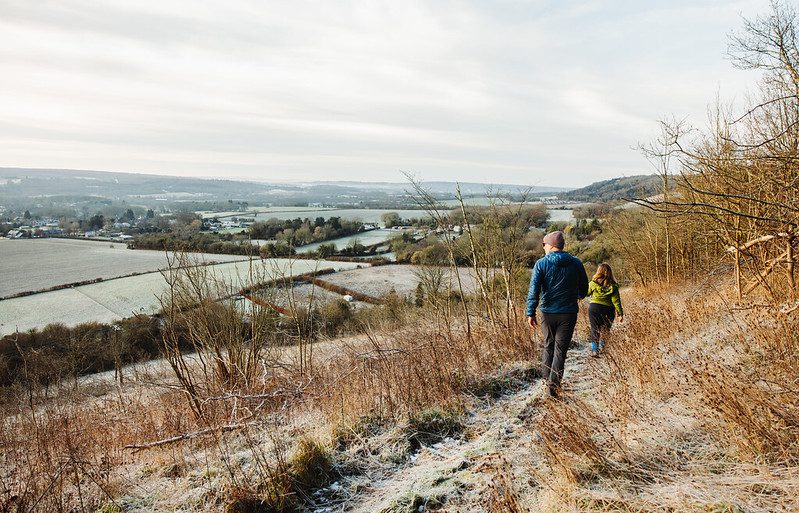

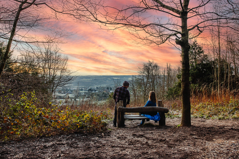

This walk takes in the countryside between the village of Harvel and the North Downs Way. The iconic North Downs Way merges with the historic Pilgrims Way along this walk, a path which Pilgrims once travelled on to make the great journey between Winchester and Canterbury.
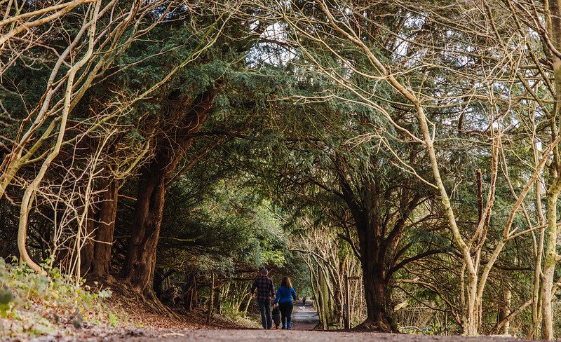
Trosley Country Park boasts a unique landscape of chalk grassland and woodland, offering carpets of bluebells in spring, butterflies and an excellent habitat for dormice and badgers.
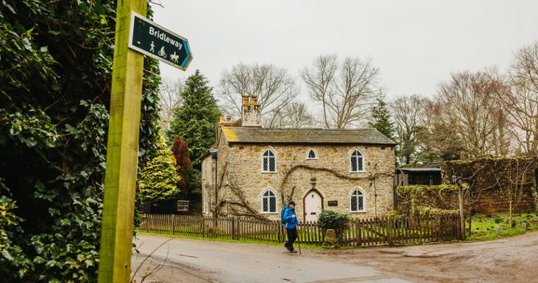
The small hamlet of Harvel along the way is a village which retains much of its traditional charm, consisting of just 250 residents.
Step by step guide
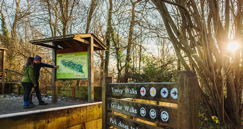
From the car park, head down the sloped path, past the notice board. Turn left and follow the path (North Downs Way) through the trees.
Turn left at the way mark post, following the signs for Walk A
At the T junction in the path, turn left
Cross the stile next to the gate to leave the park and turn left.
The track becomes an asphalt road. Follow this to the next road junction.
Turn right, past gate and along path next to Vigo Rugby Club.
At the boundary of the sports field with the woodland, turn left over the stile. Cross the rugby pitches diagonally to the opposite corner.
Cross the stile and turn right along the road. Beware of traffic.
Turn left opposite Well House, to join a footpath through a small woodland. From the woodland, cross the open field to the corner of another small woodland to the right. Follow the fence line towards the road in front of a bungalow.
Turn right onto the road (beware of traffic) and follow it to the centre of Harvel Village.
You will reach a T junction with the Amazon and Tiger public house opposite. Turn right and follow the road through the village.
At the end of the green turn left, following the way mark sign for a bridle path.
Turn right off the concrete track, following the bridle path towards woodland.
Cross the road and then the stile into the field.
Following the Wealdway signs, go through the gate and the hedge beyond.
As the path opens to a large field, leave the Wealdway, following the hedge line at the right of the field and downhill.
At the bottom of the hill, turn right along Wrangling Lane.
As the track emerges to the road (beware of traffic), go straight across to the track opposite. This track passes through woodland then down a steep slope to the North Downs Way. The surface here can be slippery when wet.
Turn right at the wooden bollards and follow the North Downs Way.
The path meets an asphalt road with a house on your right. Turn right and climb the hill. This section is a steep climb up steps.
As the slope flattens out, turn left to re-enter the park. Follow the North Downs Way through the park to return to the visitor centre.