Wateringbury rail trail
Waterinbury’s name is thought to come from the Saxon word ‘Wotringberia’, meaning a ‘low and watery site’ and this position along the main River Medway was an asset to the village. In 1820 this low and watery site boasted a brewery and later, Jude Handbury and Co’s blended whisky.
The riverside stretch is an excellent chance to spot wildlife. Kingfishers are often seen along the banks and otters are sometimes spotted in this section of the River Medway.
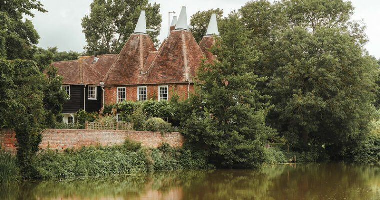
Nettlestead Place has been sat among fields next to the River Medway since the Domesday Book.
St Mary the Virgin in Nettlestead is lined with yew trees, a sacred tree in pre-Christian times due to its ability to form new trunks from old branches, symbolising death and resurrection.
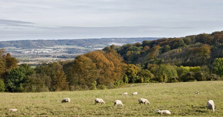
Aside from the history and wildlife, you’ll encounter some glorious views over the Medway Valley along this walk.
Step by step guide
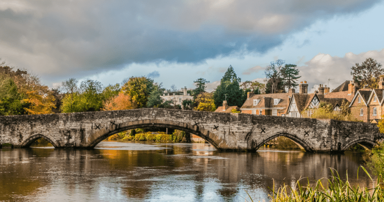
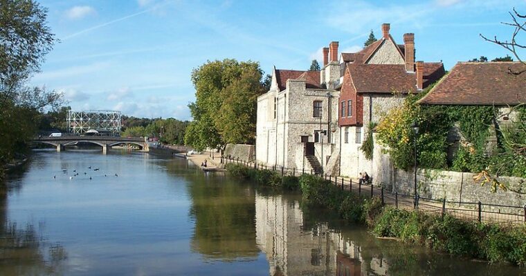
Turn left out of the station and immediately left again to cross the train tracks and you'll be beside the River Medway. With Bow Bridge in front of you turn right and take the lower path by the river.
Begin walking along the River Medway path with the river on your left. At the end of the moored boats the path enters and meanders through riverside trees. Continue along the path through the trees for about 1km.
After walking for about 10 minutes you'll see a footpath on your right hand side. Take this path carefully crossing the railway line and follow the fence. You'll see Nettlestead Place on your left hand side. Continuing straight on following the path past some impressive old yew trees and into the churchyard of St Mary the Virgin in Nettlestead.
Exit the churchyard. Cross the road then turn right and walk along the pavement. Cross over Gibbs Hill and after approximately 25 metres the footpath on the left leads you away from the road so you walk between hedgerows with houses on your right hand side.
Continue straight on. Eventually through metal railings the path comes out among the houses. Turn immediately left between more metal railings and walk slightly uphill and on through the fields.
Approximately 50 metres before reaching a house you'll see a footpath to your right which leads you down through a field. At the bottom of the field turn right and walk towards the houses. The footpath becomes the pavement beside the road again. Turn left and follow the pavement for about 500 metres.
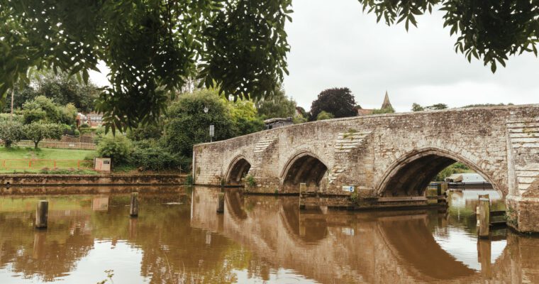
At the bend across the road you'll see Wateringbury train station. You can finish your walk here perhaps with a beverage in the neighbouring Railway Public House. Alternatively you can continue along the riverside path with the river on your right hand side, past Bow Bridge Marina and towards Teston following the Teston River Walk.